Bankfield Avenue, Wistaston
Introduction
The photograph on this page of Bankfield Avenue, Wistaston by Espresso Addict as part of the Geograph project.
The Geograph project started in 2005 with the aim of publishing, organising and preserving representative images for every square kilometre of Great Britain, Ireland and the Isle of Man.

There are currently over 7.5m images from over 14,400 individuals and you can help contribute to the project by visiting https://www.geograph.org.uk
Bankfield Avenue, Wistaston
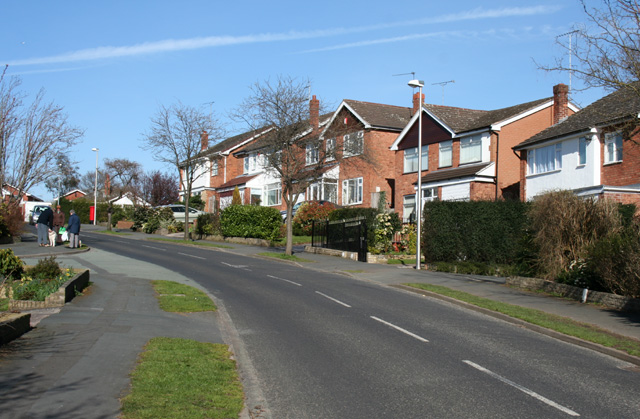
Image: © Espresso Addict Taken: 21 Mar 2007
Bankfield Avenue slopes down from Rope Bank Avenue to the valley of Swill Brook. Lined with orange-brick detached houses dating from the late 20th century, typical of much of the grid square, it's a popular venue for dog walkers
Images are licensed for reuse under creativecommons.org/licenses/by-sa/2.0
Image Location
Latitude
53.074514
Longitude
-2.458938