Saul Farm
Introduction
The photograph on this page of Saul Farm by Jonathan Billinger as part of the Geograph project.
The Geograph project started in 2005 with the aim of publishing, organising and preserving representative images for every square kilometre of Great Britain, Ireland and the Isle of Man.

There are currently over 7.5m images from over 14,400 individuals and you can help contribute to the project by visiting https://www.geograph.org.uk
Saul Farm
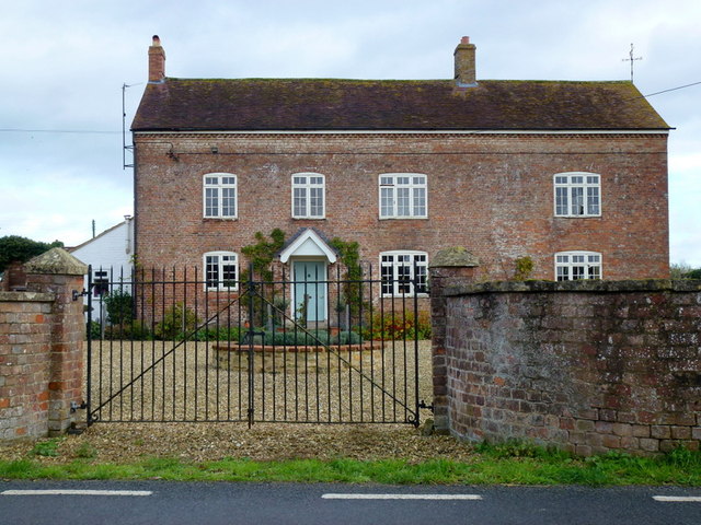
Image: © Jonathan Billinger Taken: 5 Nov 2013
The village is named after the willows or sallows (Salix) that were very common on this flat floodplain land before it was drained in the middle ages.
Images are licensed for reuse under creativecommons.org/licenses/by-sa/2.0
Image Location
Latitude
51.780984
Longitude
-2.365819