Track down into the Valency vale at Newmills
Introduction
The photograph on this page of Track down into the Valency vale at Newmills by Christopher Hilton as part of the Geograph project.
The Geograph project started in 2005 with the aim of publishing, organising and preserving representative images for every square kilometre of Great Britain, Ireland and the Isle of Man.

There are currently over 7.5m images from over 14,400 individuals and you can help contribute to the project by visiting https://www.geograph.org.uk
Track down into the Valency vale at Newmills
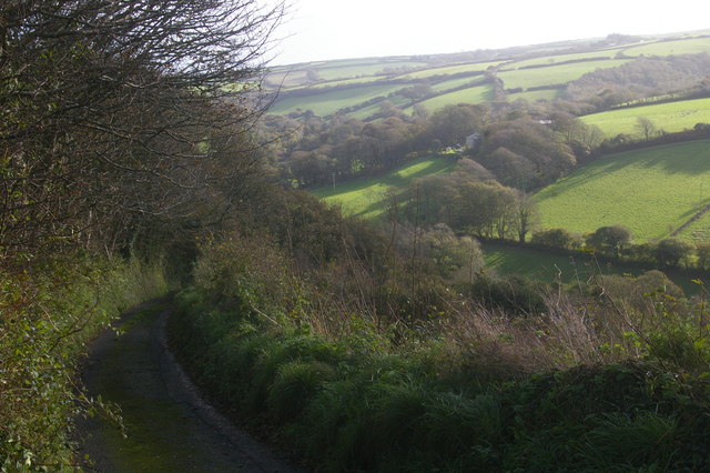
Image: © Christopher Hilton Taken: 3 Nov 2013
The lane is steep and narrow, with two sharp hairpins; it forms the only road in and out of the valley for the five cottages that make up Newmills.
Images are licensed for reuse under creativecommons.org/licenses/by-sa/2.0
Image Location
Latitude
50.6909
Longitude
-4.666734