Steps down to Bull Heath
Introduction
The photograph on this page of Steps down to Bull Heath by Marathon as part of the Geograph project.
The Geograph project started in 2005 with the aim of publishing, organising and preserving representative images for every square kilometre of Great Britain, Ireland and the Isle of Man.

There are currently over 7.5m images from over 14,400 individuals and you can help contribute to the project by visiting https://www.geograph.org.uk
Steps down to Bull Heath
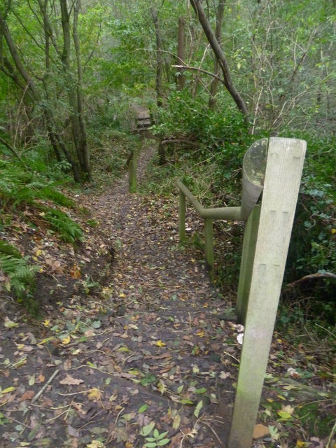
Image: © Marathon Taken: 2 Nov 2013
Bull Heath is a former sand quarry which is now a nature reserve. It is owned and managed by the Heaths Countryside Corridor which is a community-based group working to conserve and enhance the local countryside. These steps take a footpath from Lenham Heath Road down to the floor of the quarry. The main sand cliffs from the former quarrying are on the north side of the nature reserve - see http://www.geograph.org.uk/photo/3729907
Images are licensed for reuse under creativecommons.org/licenses/by-sa/2.0
Image Location
Latitude
51.214598
Longitude
0.735232