Bull Hill
Introduction
The photograph on this page of Bull Hill by Marathon as part of the Geograph project.
The Geograph project started in 2005 with the aim of publishing, organising and preserving representative images for every square kilometre of Great Britain, Ireland and the Isle of Man.

There are currently over 7.5m images from over 14,400 individuals and you can help contribute to the project by visiting https://www.geograph.org.uk
Bull Hill
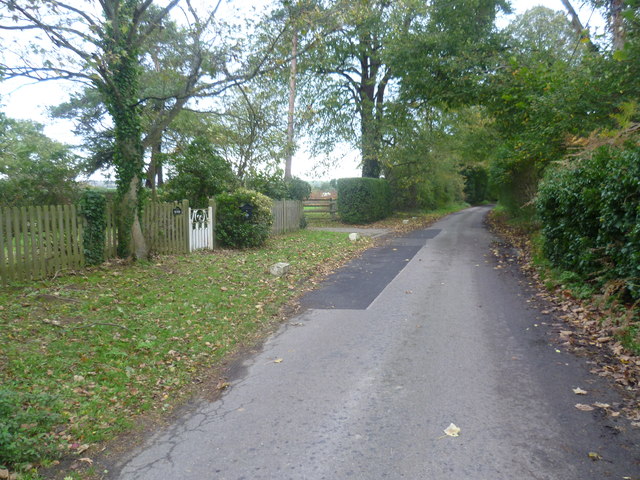
Image: © Marathon Taken: 2 Nov 2013
Bull Hill passes a house on the left here called The Peaks. Bull Hill leads from Lenham Heath to Lenham Forstal.
Images are licensed for reuse under creativecommons.org/licenses/by-sa/2.0
Image Location
Latitude
51.217136
Longitude
0.73438