View from the trig point
Introduction
The photograph on this page of View from the trig point by Robin Webster as part of the Geograph project.
The Geograph project started in 2005 with the aim of publishing, organising and preserving representative images for every square kilometre of Great Britain, Ireland and the Isle of Man.

There are currently over 7.5m images from over 14,400 individuals and you can help contribute to the project by visiting https://www.geograph.org.uk
View from the trig point
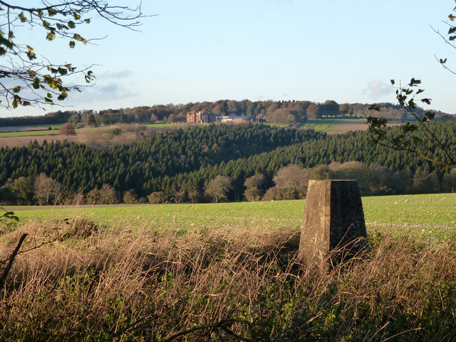
Image: © Robin Webster Taken: 4 Nov 2013
Looking towards Ditcham Park School. The pillar has flush bracket number S4043 and is mapped at 143 m. There is a small island of vegetation with trees here, with a low mound, but it has never been mapped as a tumulus.
Images are licensed for reuse under creativecommons.org/licenses/by-sa/2.0
Image Location


Leaflet Map data © OpenStreetMap
Latitude
50.946926
Longitude
-0.932488