Torr Road crossing the valley of the Altmore Burn
Introduction
The photograph on this page of Torr Road crossing the valley of the Altmore Burn by Eric Jones as part of the Geograph project.
The Geograph project started in 2005 with the aim of publishing, organising and preserving representative images for every square kilometre of Great Britain, Ireland and the Isle of Man.

There are currently over 7.5m images from over 14,400 individuals and you can help contribute to the project by visiting https://www.geograph.org.uk
Torr Road crossing the valley of the Altmore Burn
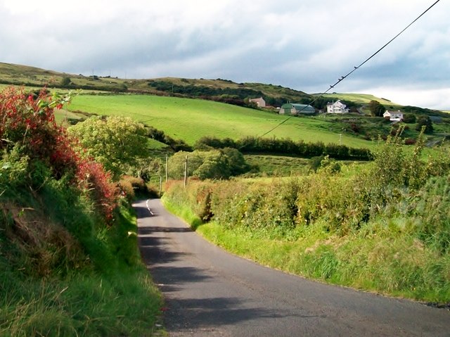
Image: © Eric Jones Taken: 13 Aug 2011
The settlement on the ridge above is Farranmacallan.
Images are licensed for reuse under creativecommons.org/licenses/by-sa/2.0
Image Location
Latitude
55.1836
Longitude
-6.068718