Lubbesthorpe Brook Flood Alleviation Scheme
Introduction
The photograph on this page of Lubbesthorpe Brook Flood Alleviation Scheme by Mat Fascione as part of the Geograph project.
The Geograph project started in 2005 with the aim of publishing, organising and preserving representative images for every square kilometre of Great Britain, Ireland and the Isle of Man.

There are currently over 7.5m images from over 14,400 individuals and you can help contribute to the project by visiting https://www.geograph.org.uk
Lubbesthorpe Brook Flood Alleviation Scheme
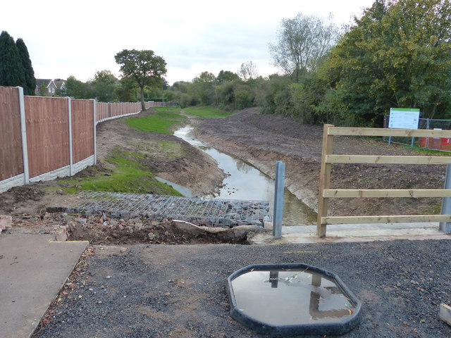
Image: © Mat Fascione Taken: 3 Nov 2013
Construction work has been on going for months, whilst the widening and realigning of Lubbesthorpe Brook takes place.
Images are licensed for reuse under creativecommons.org/licenses/by-sa/2.0
Image Location


Leaflet Map data © OpenStreetMap
Latitude
52.605428
Longitude
-1.186336