Road from Charfield to Yate and Chipping Sodbury
Introduction
The photograph on this page of Road from Charfield to Yate and Chipping Sodbury by Jaggery as part of the Geograph project.
The Geograph project started in 2005 with the aim of publishing, organising and preserving representative images for every square kilometre of Great Britain, Ireland and the Isle of Man.

There are currently over 7.5m images from over 14,400 individuals and you can help contribute to the project by visiting https://www.geograph.org.uk
Road from Charfield to Yate and Chipping Sodbury
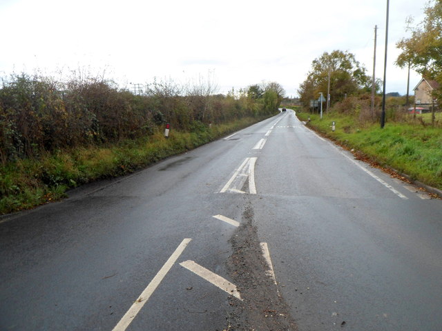
Image: © Jaggery Taken: 28 Oct 2012
The B4058 heads away from Charfield Hill crossroads towards Yate and Chipping Sodbury via Cromhall and Wickwar.
Images are licensed for reuse under creativecommons.org/licenses/by-sa/2.0
Image Location
Latitude
51.624908
Longitude
-2.416277