B4058 approaches crossroads at the top of Charfield Hill
Introduction
The photograph on this page of B4058 approaches crossroads at the top of Charfield Hill by Jaggery as part of the Geograph project.
The Geograph project started in 2005 with the aim of publishing, organising and preserving representative images for every square kilometre of Great Britain, Ireland and the Isle of Man.

There are currently over 7.5m images from over 14,400 individuals and you can help contribute to the project by visiting https://www.geograph.org.uk
B4058 approaches crossroads at the top of Charfield Hill
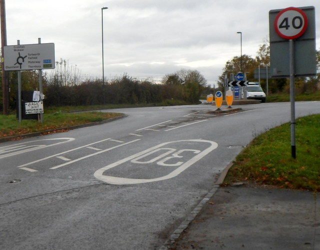
Image: © Jaggery Taken: 28 Oct 2012
Looking towards the mini-roundabout http://www.geograph.org.uk/photo/3728448 in the middle of the crossroads. The speed limit increases from 30mph to 40mph.
Images are licensed for reuse under creativecommons.org/licenses/by-sa/2.0
Image Location
Latitude
51.625185
Longitude
-2.414402