Commercial buildings and cliff, Briggate
Introduction
The photograph on this page of Commercial buildings and cliff, Briggate by Humphrey Bolton as part of the Geograph project.
The Geograph project started in 2005 with the aim of publishing, organising and preserving representative images for every square kilometre of Great Britain, Ireland and the Isle of Man.

There are currently over 7.5m images from over 14,400 individuals and you can help contribute to the project by visiting https://www.geograph.org.uk
Commercial buildings and cliff, Briggate
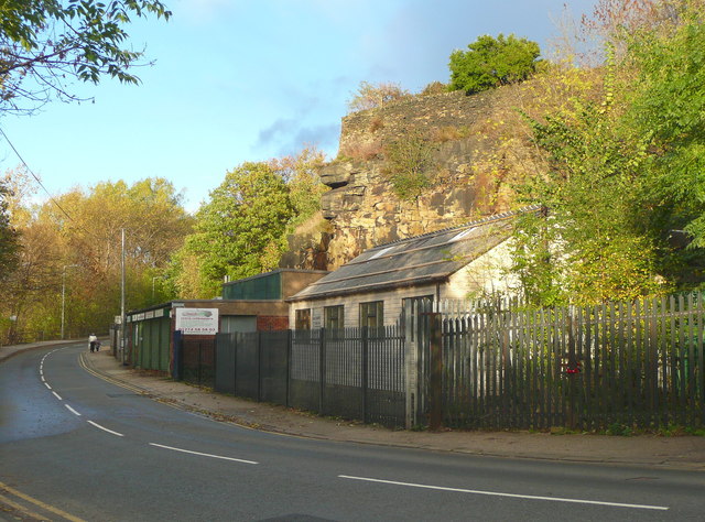
Image: © Humphrey Bolton Taken: 3 Nov 2013
The buildings are on the site of two blocks of tiny back-to-back cottages shown on the 1908 1:2500 map. The area is captioned 'Windhill Crag' on the 1850 map, with no mention of a quarry.
Images are licensed for reuse under creativecommons.org/licenses/by-sa/2.0
Image Location


Leaflet Map data © OpenStreetMap
Latitude
53.829769
Longitude
-1.773431