View of Embankment Way
Introduction
The photograph on this page of View of Embankment Way by Mat Tuck as part of the Geograph project.
The Geograph project started in 2005 with the aim of publishing, organising and preserving representative images for every square kilometre of Great Britain, Ireland and the Isle of Man.

There are currently over 7.5m images from over 14,400 individuals and you can help contribute to the project by visiting https://www.geograph.org.uk
View of Embankment Way
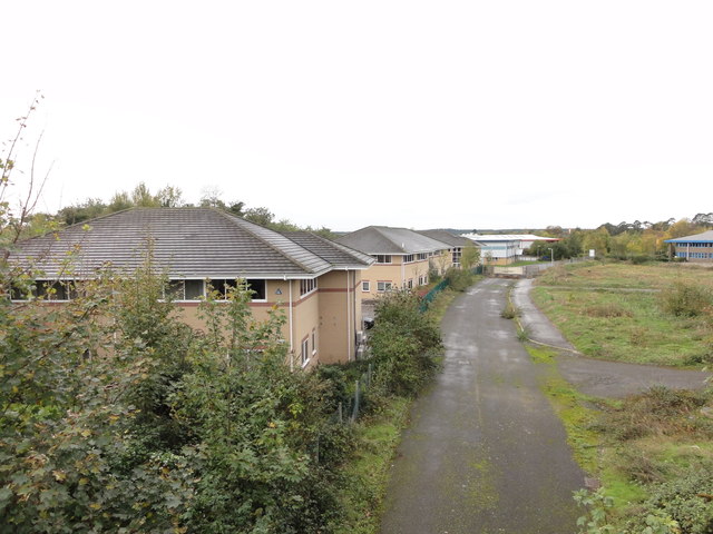
Image: © Mat Tuck Taken: 3 Nov 2013
Embankment Way in Ringwood, the road has been closed off preventing access. The view is taken from the former railway bridge on Crow Arch Lane.
Images are licensed for reuse under creativecommons.org/licenses/by-sa/2.0
Image Location
Latitude
50.840357
Longitude
-1.778538