Crossroads on the A450
Introduction
The photograph on this page of Crossroads on the A450 by Richard Rogerson as part of the Geograph project.
The Geograph project started in 2005 with the aim of publishing, organising and preserving representative images for every square kilometre of Great Britain, Ireland and the Isle of Man.

There are currently over 7.5m images from over 14,400 individuals and you can help contribute to the project by visiting https://www.geograph.org.uk
Crossroads on the A450
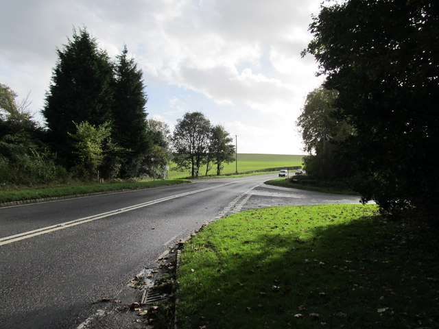
Image: © Richard Rogerson Taken: 2 Nov 2013
This is where Broome Lane crosses the Stourbridge Road (A450) near to West Hagley.
Images are licensed for reuse under creativecommons.org/licenses/by-sa/2.0
Image Location
Latitude
52.405219
Longitude
-2.153121