Bray Lock, River Thames
Introduction
The photograph on this page of Bray Lock, River Thames by Dr Neil Clifton as part of the Geograph project.
The Geograph project started in 2005 with the aim of publishing, organising and preserving representative images for every square kilometre of Great Britain, Ireland and the Isle of Man.

There are currently over 7.5m images from over 14,400 individuals and you can help contribute to the project by visiting https://www.geograph.org.uk
Bray Lock, River Thames
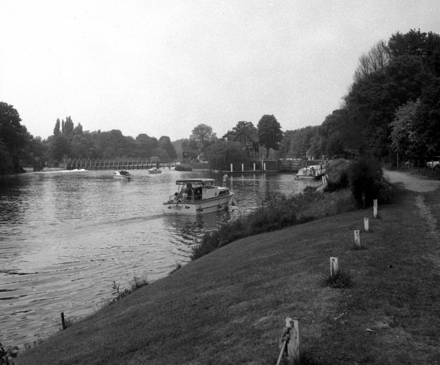
Image: © Dr Neil Clifton Taken: 27 May 1974
Viewed from downstream, with Bray Weir to the left. Buckinghamshire on the right bank and Berkshire on the left, as viewed from the photographer.
Images are licensed for reuse under creativecommons.org/licenses/by-sa/2.0
Image Location
Latitude
51.508912
Longitude
-0.690151