Burnt out Bangalow at corner of Mill Road & Ghyll Road
Introduction
The photograph on this page of Burnt out Bangalow at corner of Mill Road & Ghyll Road by David Harvey as part of the Geograph project.
The Geograph project started in 2005 with the aim of publishing, organising and preserving representative images for every square kilometre of Great Britain, Ireland and the Isle of Man.

There are currently over 7.5m images from over 14,400 individuals and you can help contribute to the project by visiting https://www.geograph.org.uk
Burnt out Bangalow at corner of Mill Road & Ghyll Road
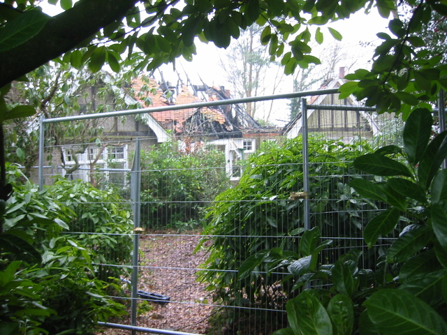
Image: © David Harvey Taken: 2 Nov 2008
This photo was taken on November 2nd 2008. The bungalow was eventually demolished and the site is still derelict in November 2013.
Images are licensed for reuse under creativecommons.org/licenses/by-sa/2.0
Image Location
Latitude
50.968015
Longitude
0.24412