Path beside the Esk
Introduction
The photograph on this page of Path beside the Esk by Paul Franks as part of the Geograph project.
The Geograph project started in 2005 with the aim of publishing, organising and preserving representative images for every square kilometre of Great Britain, Ireland and the Isle of Man.

There are currently over 7.5m images from over 14,400 individuals and you can help contribute to the project by visiting https://www.geograph.org.uk
Path beside the Esk
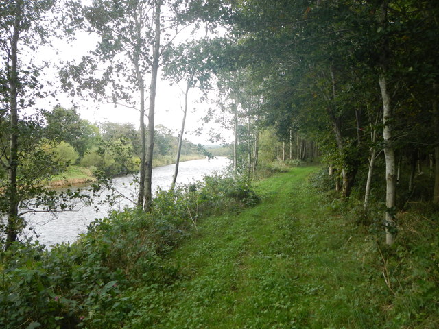
Image: © Paul Franks Taken: 11 Oct 2013
The path follows the Liddel water to its confluence with the Esk, then follows the Esk upstream towards Park House.
Images are licensed for reuse under creativecommons.org/licenses/by-sa/2.0
Image Location
Latitude
55.056523
Longitude
-2.947379