Footpath and Crow Hill
Introduction
The photograph on this page of Footpath and Crow Hill by Humphrey Bolton as part of the Geograph project.
The Geograph project started in 2005 with the aim of publishing, organising and preserving representative images for every square kilometre of Great Britain, Ireland and the Isle of Man.

There are currently over 7.5m images from over 14,400 individuals and you can help contribute to the project by visiting https://www.geograph.org.uk
Footpath and Crow Hill
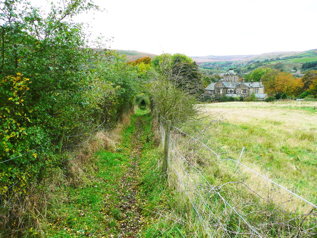
Image: © Humphrey Bolton Taken: 26 Oct 2013
The path was originally an unfenced field path, but has been enclosed by fences and hedgerow trees that are making a green tunnel. The house looks like a mill-owners house and has a room in a tower, perhaps the owner's study. A quick search reveals that the house is now a wedding venue, and has also been partly converted to holiday apartments supplemented by newly built cottages in the grounds.
Images are licensed for reuse under creativecommons.org/licenses/by-sa/2.0
Image Location
Latitude
53.599592
Longitude
-1.92048