The valley of the Burnhope Burn
Introduction
The photograph on this page of The valley of the Burnhope Burn by Oliver Dixon as part of the Geograph project.
The Geograph project started in 2005 with the aim of publishing, organising and preserving representative images for every square kilometre of Great Britain, Ireland and the Isle of Man.

There are currently over 7.5m images from over 14,400 individuals and you can help contribute to the project by visiting https://www.geograph.org.uk
The valley of the Burnhope Burn
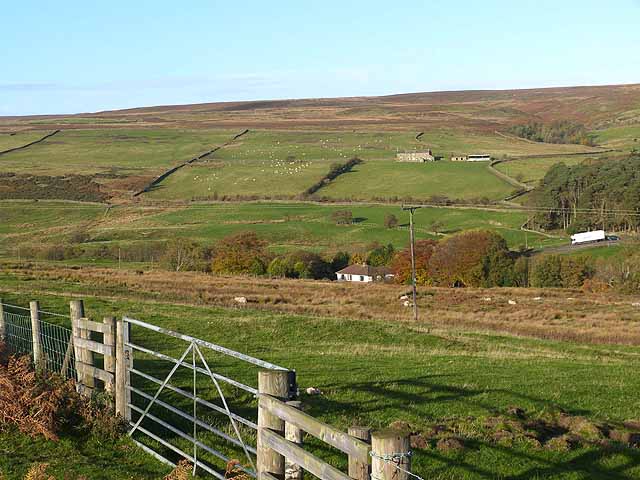
Image: © Oliver Dixon Taken: 1 Nov 2013
A lorry can be seen descending the B6278 out of Edmundbyers to cross the burn before the ascent to Park Head. Limerick Cottage Image can be seen on the far hillside.
Images are licensed for reuse under creativecommons.org/licenses/by-sa/2.0
Image Location
Latitude
54.841664
Longitude
-1.980817