Mount - Regan Avenue sign, Dundonald
Introduction
The photograph on this page of Mount - Regan Avenue sign, Dundonald by Albert Bridge as part of the Geograph project.
The Geograph project started in 2005 with the aim of publishing, organising and preserving representative images for every square kilometre of Great Britain, Ireland and the Isle of Man.

There are currently over 7.5m images from over 14,400 individuals and you can help contribute to the project by visiting https://www.geograph.org.uk
Mount - Regan Avenue sign, Dundonald
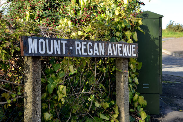
Image: © Albert Bridge Taken: 1 Nov 2013
Mount-Regan Avenue is suburban housing, in a loop, on the western side of the Ballyregan Road Image This version of the name, using a hyphen, is on the northern side close to the Stoney Road and is used by the 1:12,000 OSNI street map. My guess is that this sign dates back to the days of Castlereagh Rural District Council. I can’t find any explanation for the name other than that “Regan” probably refers to the townland of Ballyregan. There doesn’t ever seem to have been a “big house” by the name of “Mount Regan” though there was a “Ballyregan House”. Image shows the unhyphenated version, opposite.
Images are licensed for reuse under creativecommons.org/licenses/by-sa/2.0
Image Location
Latitude
54.598194
Longitude
-5.806227