Hall Grange Farm
Introduction
The photograph on this page of Hall Grange Farm by Trevor Littlewood as part of the Geograph project.
The Geograph project started in 2005 with the aim of publishing, organising and preserving representative images for every square kilometre of Great Britain, Ireland and the Isle of Man.

There are currently over 7.5m images from over 14,400 individuals and you can help contribute to the project by visiting https://www.geograph.org.uk
Hall Grange Farm
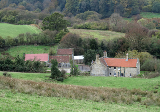
Image: © Trevor Littlewood Taken: 1 Nov 2013
Hall Grange Farm as seen from a path above it to the east; the slopes drop away to the valley of the Butter Beck, a tributary of the River Esk.
Images are licensed for reuse under creativecommons.org/licenses/by-sa/2.0
Image Location


Leaflet Map data © OpenStreetMap
Latitude
54.428247
Longitude
-0.772688