Narrowboat graveyard
Introduction
The photograph on this page of Narrowboat graveyard by David Stowell as part of the Geograph project.
The Geograph project started in 2005 with the aim of publishing, organising and preserving representative images for every square kilometre of Great Britain, Ireland and the Isle of Man.

There are currently over 7.5m images from over 14,400 individuals and you can help contribute to the project by visiting https://www.geograph.org.uk
Narrowboat graveyard
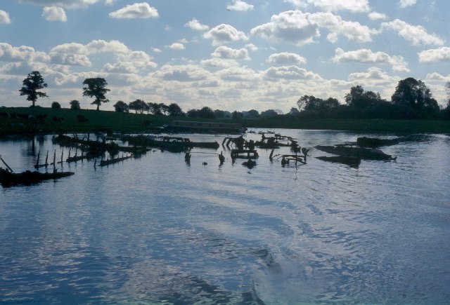
Image: © David Stowell Taken: Unknown
Due to subsidence caused by salt mining the Trent and Mersey canal has spread and formed several lagoons in this area. When large scale commercial carrying came to an end on the waterways many ex-working boats were simply abandoned here and left to rot.
Images are licensed for reuse under creativecommons.org/licenses/by-sa/2.0
Image Location


Leaflet Map data © OpenStreetMap
Latitude
53.235972
Longitude
-2.477894