The Ballyregan Road, Dundonald
Introduction
The photograph on this page of The Ballyregan Road, Dundonald by Albert Bridge as part of the Geograph project.
The Geograph project started in 2005 with the aim of publishing, organising and preserving representative images for every square kilometre of Great Britain, Ireland and the Isle of Man.

There are currently over 7.5m images from over 14,400 individuals and you can help contribute to the project by visiting https://www.geograph.org.uk
The Ballyregan Road, Dundonald
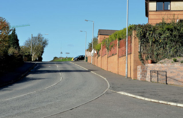
Image: © Albert Bridge Taken: 1 Nov 2013
See Image (March 2012). A complete contrast as the Ballyregan Road climbs away from built-up Dundonald. The road runs north (where the car is turning) past the Grangewood development (right). The Stoney Road runs straight ahead, around the back of the Ulster Hospital, before emerging close to Dundonald House Image
Images are licensed for reuse under creativecommons.org/licenses/by-sa/2.0
Image Location
Latitude
54.598287
Longitude
-5.806377