Footpath by the Fosse Way
Introduction
The photograph on this page of Footpath by the Fosse Way by Jonathan Thacker as part of the Geograph project.
The Geograph project started in 2005 with the aim of publishing, organising and preserving representative images for every square kilometre of Great Britain, Ireland and the Isle of Man.

There are currently over 7.5m images from over 14,400 individuals and you can help contribute to the project by visiting https://www.geograph.org.uk
Footpath by the Fosse Way
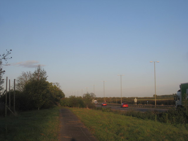
Image: © Jonathan Thacker Taken: 31 Oct 2013
The path follows the line of the Fosse Way. The dual carriageway was built alongside the existing route which was then closed and turned into a footpath.
Images are licensed for reuse under creativecommons.org/licenses/by-sa/2.0
Image Location
Latitude
53.157674
Longitude
-0.668788