The lower end of Gaults Road on Lurig Challenge Day, 2011
Introduction
The photograph on this page of The lower end of Gaults Road on Lurig Challenge Day, 2011 by Eric Jones as part of the Geograph project.
The Geograph project started in 2005 with the aim of publishing, organising and preserving representative images for every square kilometre of Great Britain, Ireland and the Isle of Man.

There are currently over 7.5m images from over 14,400 individuals and you can help contribute to the project by visiting https://www.geograph.org.uk
The lower end of Gaults Road on Lurig Challenge Day, 2011
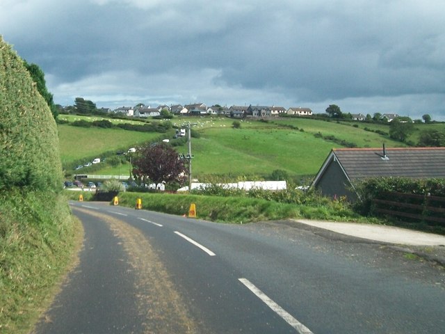
Image: © Eric Jones Taken: 13 Aug 2011
Cars are parked on the minor road leading from the cross roads on the A2 to the hamlet of Cairn View.
Images are licensed for reuse under creativecommons.org/licenses/by-sa/2.0
Image Location
Latitude
55.08391
Longitude
-6.076503