Lumb in Edenfield
Introduction
The photograph on this page of Lumb in Edenfield by Paul Anderson as part of the Geograph project.
The Geograph project started in 2005 with the aim of publishing, organising and preserving representative images for every square kilometre of Great Britain, Ireland and the Isle of Man.

There are currently over 7.5m images from over 14,400 individuals and you can help contribute to the project by visiting https://www.geograph.org.uk
Lumb in Edenfield
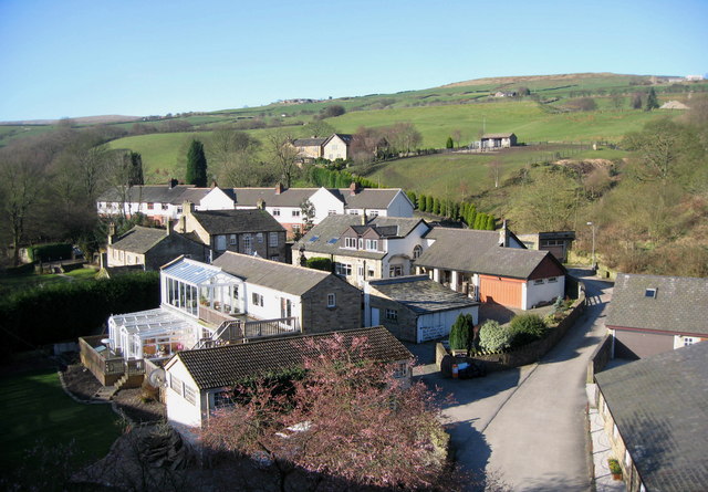
Image: © Paul Anderson Taken: 21 Mar 2007
A little downstream from Irwell Vale is the hamlet of Lumb-in-Edenfield. Originally it was a single house, Lumb Old Hall, parts of which date from the 15th century. Lumb is partially hidden by an impressive nine-arch Image which once carried the railway from Stubbins to Helmshore over the valley of the River Irwell.
Images are licensed for reuse under creativecommons.org/licenses/by-sa/2.0
Image Location
Latitude
53.673248
Longitude
-2.321773