A28, Island Road, Hersden
Introduction
The photograph on this page of A28, Island Road, Hersden by David Dixon as part of the Geograph project.
The Geograph project started in 2005 with the aim of publishing, organising and preserving representative images for every square kilometre of Great Britain, Ireland and the Isle of Man.

There are currently over 7.5m images from over 14,400 individuals and you can help contribute to the project by visiting https://www.geograph.org.uk
A28, Island Road, Hersden
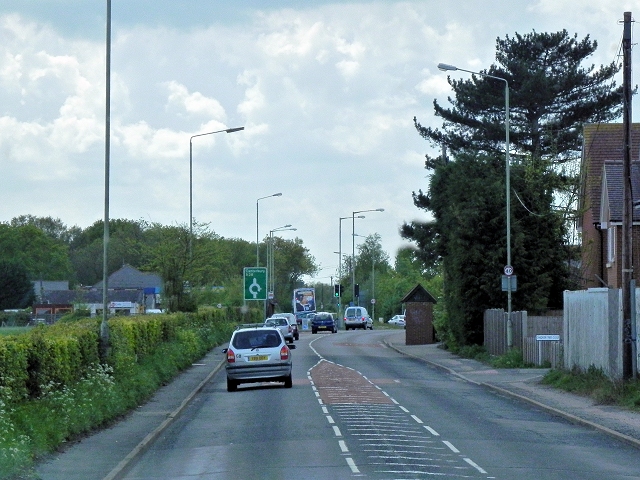
Image: © David Dixon Taken: 16 May 2013
Between Sarre and Canterbury, the A28 follows the line of an early Roman road.
Images are licensed for reuse under creativecommons.org/licenses/by-sa/2.0
Image Location
Latitude
51.313071
Longitude
1.157286