Flood alleviation work in progress below Fisher's Bridge
Introduction
The photograph on this page of Flood alleviation work in progress below Fisher's Bridge by Robin Stott as part of the Geograph project.
The Geograph project started in 2005 with the aim of publishing, organising and preserving representative images for every square kilometre of Great Britain, Ireland and the Isle of Man.

There are currently over 7.5m images from over 14,400 individuals and you can help contribute to the project by visiting https://www.geograph.org.uk
Flood alleviation work in progress below Fisher's Bridge
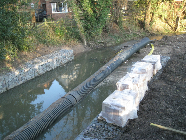
Image: © Robin Stott Taken: 1 Dec 2012
The brook in a pipe is carried clear while other works are implemented at the side of a property in Stratford Road.
Images are licensed for reuse under creativecommons.org/licenses/by-sa/2.0
Image Location
Latitude
52.269871
Longitude
-1.597545