Newton Creek
Introduction
The photograph on this page of Newton Creek by jeff collins as part of the Geograph project.
The Geograph project started in 2005 with the aim of publishing, organising and preserving representative images for every square kilometre of Great Britain, Ireland and the Isle of Man.

There are currently over 7.5m images from over 14,400 individuals and you can help contribute to the project by visiting https://www.geograph.org.uk
Newton Creek
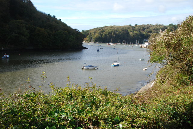
Image: © jeff collins Taken: 1 Nov 2013
Looking downstream from the footpath below the houses. On the left bank part of Ferry Wood can be seen.
Images are licensed for reuse under creativecommons.org/licenses/by-sa/2.0
Image Location


Leaflet Map data © OpenStreetMap
Latitude
50.312999
Longitude
-4.047277