Detached and semi-detached houses, Stratford Road
Introduction
The photograph on this page of Detached and semi-detached houses, Stratford Road by Robin Stott as part of the Geograph project.
The Geograph project started in 2005 with the aim of publishing, organising and preserving representative images for every square kilometre of Great Britain, Ireland and the Isle of Man.

There are currently over 7.5m images from over 14,400 individuals and you can help contribute to the project by visiting https://www.geograph.org.uk
Detached and semi-detached houses, Stratford Road
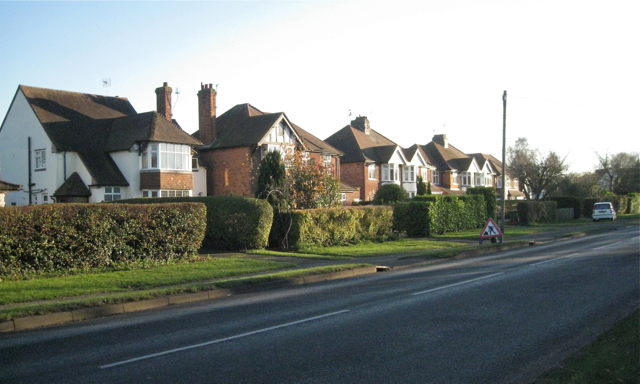
Image: © Robin Stott Taken: 1 Dec 2012
This southeast side of Stratford Road was developed almost completely between 1926 and 1938, according to old OS maps.
Images are licensed for reuse under creativecommons.org/licenses/by-sa/2.0
Image Location


Leaflet Map data © OpenStreetMap
Latitude
52.271307
Longitude
-1.597092