Field above Woodhouse Cross
Introduction
The photograph on this page of Field above Woodhouse Cross by Derek Harper as part of the Geograph project.
The Geograph project started in 2005 with the aim of publishing, organising and preserving representative images for every square kilometre of Great Britain, Ireland and the Isle of Man.

There are currently over 7.5m images from over 14,400 individuals and you can help contribute to the project by visiting https://www.geograph.org.uk
Field above Woodhouse Cross
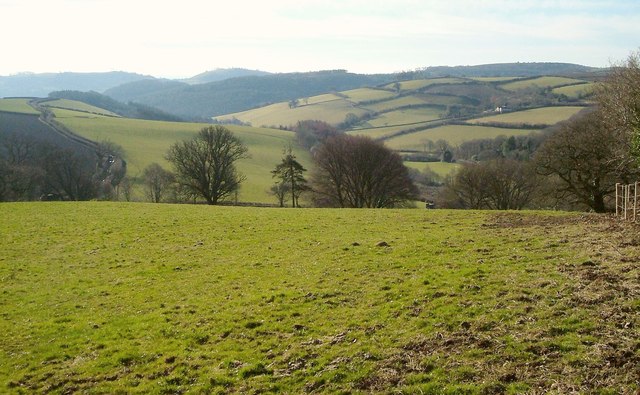
Image: © Derek Harper Taken: 4 Mar 2006
From Ilsington Footpath 27 at the western edge of the field shown in Image In the distance is the valley of the Liverton Brook.
Images are licensed for reuse under creativecommons.org/licenses/by-sa/2.0
Image Location
Latitude
50.576014
Longitude
-3.705282