Victoria Street
Introduction
The photograph on this page of Victoria Street by Gerald England as part of the Geograph project.
The Geograph project started in 2005 with the aim of publishing, organising and preserving representative images for every square kilometre of Great Britain, Ireland and the Isle of Man.

There are currently over 7.5m images from over 14,400 individuals and you can help contribute to the project by visiting https://www.geograph.org.uk
Victoria Street
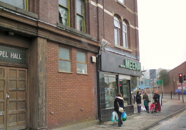
Image: © Gerald England Taken: 25 Sep 2013
The end of Victoria Street approaching Barbara Castle Way. The Meena bakery is on the corner next to the Gospel Hall.
Images are licensed for reuse under creativecommons.org/licenses/by-sa/2.0
Image Location
Latitude
53.751264
Longitude
-2.482664