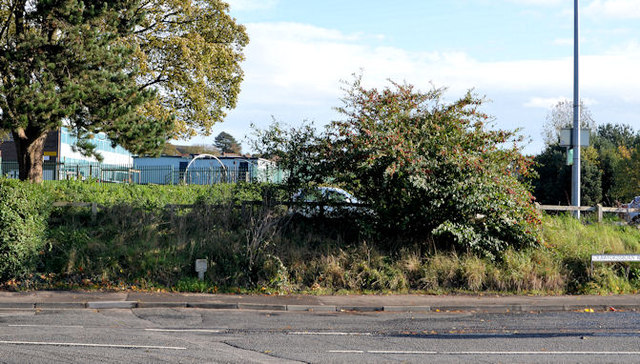
Course of old railway, Newtownards
Introduction
The photograph on this page of Course of old railway, Newtownards by Albert Bridge as part of the Geograph project.
The Geograph project started in 2005 with the aim of publishing, organising and preserving representative images for every square kilometre of Great Britain, Ireland and the Isle of Man.
There are currently over 7.5m images from over 14,400 individuals and you can help contribute to the project by visiting https://www.geograph.org.uk

Image: © Albert Bridge Taken: 31 Oct 2013
See Image (30 September 2011). The same stretch of line, on the other side of the Crawfordsburn Road, at the corner of Talbot Street, as it headed towards Comber. Anyone looking for “lost railways” in Newtownards will not have a rewarding search. The 1966 one-inch map shows the course of the line very clearly. Today’s satellite photograph http://www.maplandia.com/united-kingdom/northern-ireland/northern-ireland/down/newtownards/ shows that most of it has disappeared under various buildings etc - in this case a car park. For reference purposes Londonderry Primary School is in the background.

