The incised Carey Valley near Torteige
Introduction
The photograph on this page of The incised Carey Valley near Torteige by Eric Jones as part of the Geograph project.
The Geograph project started in 2005 with the aim of publishing, organising and preserving representative images for every square kilometre of Great Britain, Ireland and the Isle of Man.

There are currently over 7.5m images from over 14,400 individuals and you can help contribute to the project by visiting https://www.geograph.org.uk
The incised Carey Valley near Torteige
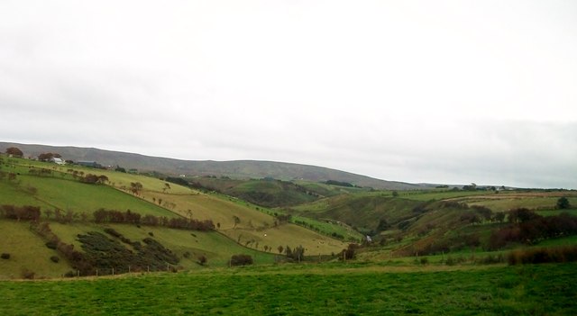
Image: © Eric Jones Taken: 26 Sep 2013
The Carey River is a major tributary of the Glensheck River which discharges into Ballycastle Bay. Carnanmore Mountain forms the background.
Images are licensed for reuse under creativecommons.org/licenses/by-sa/2.0
Image Location
Latitude
55.184409
Longitude
-6.149852