St Michael's Way goes under an access road to the Metrocentre
Introduction
The photograph on this page of St Michael's Way goes under an access road to the Metrocentre by Russel Wills as part of the Geograph project.
The Geograph project started in 2005 with the aim of publishing, organising and preserving representative images for every square kilometre of Great Britain, Ireland and the Isle of Man.

There are currently over 7.5m images from over 14,400 individuals and you can help contribute to the project by visiting https://www.geograph.org.uk
St Michael's Way goes under an access road to the Metrocentre
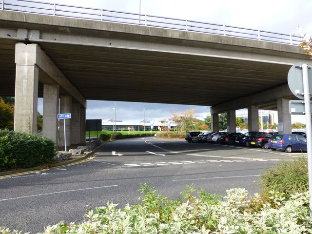
Image: © Russel Wills Taken: 30 Oct 2013
Halfords retail outlet in the distance.
Images are licensed for reuse under creativecommons.org/licenses/by-sa/2.0
Image Location
Latitude
54.956344
Longitude
-1.674078