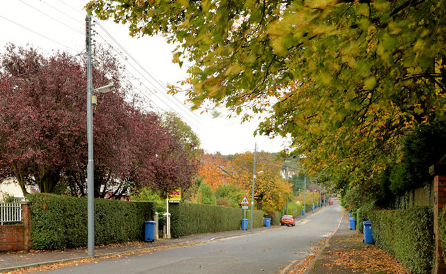
My Lady's Mile, Holywood
Introduction
The photograph on this page of My Lady's Mile, Holywood by Albert Bridge as part of the Geograph project.
The Geograph project started in 2005 with the aim of publishing, organising and preserving representative images for every square kilometre of Great Britain, Ireland and the Isle of Man.
There are currently over 7.5m images from over 14,400 individuals and you can help contribute to the project by visiting https://www.geograph.org.uk

Image: © Albert Bridge Taken: 30 Oct 2013
A suburban road running from High Street to the Demesne Road Image This view is outward from opposite the southern end of Church View Image with the autumn colours on display. The road’s name is unusual and an explanation is not easy to find. One thing which seems reasonably certain is that it has no connection with this one Image where the “Lady” in question was related to Lord Donegall. One suggestion for Holywood is that the name was originally “Our Lady’s Mile” implying a religious connection which is not unreasonable given the origin of the town’s name. Another is that the “Lady” was a relative of Sir Hugh Montgomery Image and Image who had been granted land in north Down and the Ards as part of the Plantation of Ulster.

