The River Till near Asserton
Introduction
The photograph on this page of The River Till near Asserton by Maigheach-gheal as part of the Geograph project.
The Geograph project started in 2005 with the aim of publishing, organising and preserving representative images for every square kilometre of Great Britain, Ireland and the Isle of Man.

There are currently over 7.5m images from over 14,400 individuals and you can help contribute to the project by visiting https://www.geograph.org.uk
The River Till near Asserton
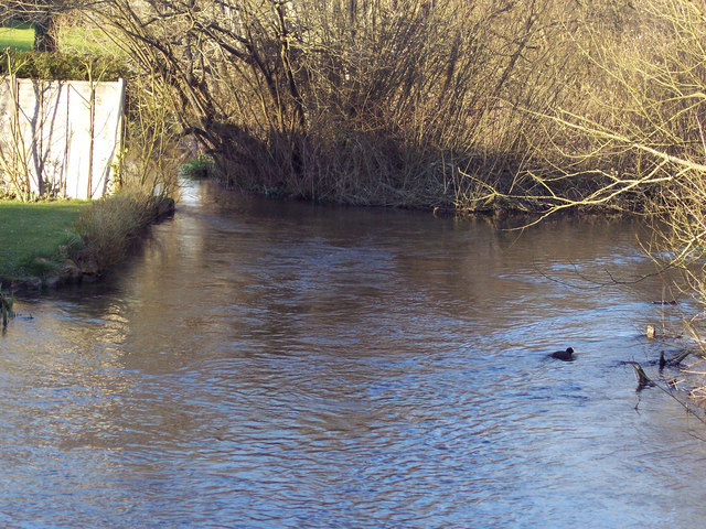
Image: © Maigheach-gheal Taken: 13 Mar 2007
Unlike many of the chalk downland valleys across the Salisbury Plain, the valley of the River Till is the only one with a permanent flow of water. Numerous springs high up in the heart of the Plain continuously feed the little river, which rises near Tilshead and flows south through Shrewton, Winterbourne Stoke and Berwick St James before merging with the much larger River Wylye at Stapleford. Under normal conditions, even in the wettest of winters, the porous nature of chalk will absorb the rainfall, but occasionally under quite exceptional conditions flash floods can occur across chalk downland.
Images are licensed for reuse under creativecommons.org/licenses/by-sa/2.0
Image Location


Leaflet Map data © OpenStreetMap
Latitude
51.15498
Longitude
-1.897001