King Henry's Drive, New Addington
Introduction
The photograph on this page of King Henry's Drive, New Addington by Marathon as part of the Geograph project.
The Geograph project started in 2005 with the aim of publishing, organising and preserving representative images for every square kilometre of Great Britain, Ireland and the Isle of Man.

There are currently over 7.5m images from over 14,400 individuals and you can help contribute to the project by visiting https://www.geograph.org.uk
King Henry's Drive, New Addington
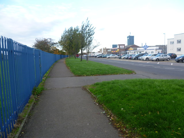
Image: © Marathon Taken: 30 Oct 2013
This view looks along King Henry's Drive which loops round this part of New Addington from the south-eastern edge to Lodge Lane and Parkway. The blue railings on the left belong to Rowdown Primary School.
Images are licensed for reuse under creativecommons.org/licenses/by-sa/2.0
Image Location
Latitude
51.341898
Longitude
-0.00574