Abbey Ring, Holywood
Introduction
The photograph on this page of Abbey Ring, Holywood by Albert Bridge as part of the Geograph project.
The Geograph project started in 2005 with the aim of publishing, organising and preserving representative images for every square kilometre of Great Britain, Ireland and the Isle of Man.

There are currently over 7.5m images from over 14,400 individuals and you can help contribute to the project by visiting https://www.geograph.org.uk
Abbey Ring, Holywood
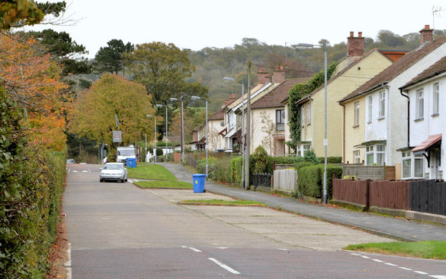
Image: © Albert Bridge Taken: 30 Oct 2013
Abbey Ring runs round and encloses the White City estate. This view is a short distance up from the Belfast Road, beside Sullivan Upper school (behind the hedge on the left).
Images are licensed for reuse under creativecommons.org/licenses/by-sa/2.0
Image Location
Latitude
54.634934
Longitude
-5.840649