Milton Loch Shoreline
Introduction
The photograph on this page of Milton Loch Shoreline by Mary and Angus Hogg as part of the Geograph project.
The Geograph project started in 2005 with the aim of publishing, organising and preserving representative images for every square kilometre of Great Britain, Ireland and the Isle of Man.

There are currently over 7.5m images from over 14,400 individuals and you can help contribute to the project by visiting https://www.geograph.org.uk
Milton Loch Shoreline
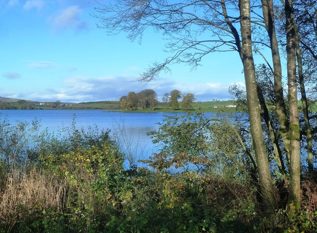
Image: © Mary and Angus Hogg Taken: 29 Oct 2013
Looking towards Milton Loch, which lies in the next square, from a clear space on the wooded southern shoreline. The loch is a kettle lake, created when a huge block of ice became stuck below the moving ice sheet which continued to lay down deposits around it.
Images are licensed for reuse under creativecommons.org/licenses/by-sa/2.0
Image Location
Latitude
55.019839
Longitude
-3.818687