Strathearn Court, Holywood
Introduction
The photograph on this page of Strathearn Court, Holywood by Albert Bridge as part of the Geograph project.
The Geograph project started in 2005 with the aim of publishing, organising and preserving representative images for every square kilometre of Great Britain, Ireland and the Isle of Man.

There are currently over 7.5m images from over 14,400 individuals and you can help contribute to the project by visiting https://www.geograph.org.uk
Strathearn Court, Holywood
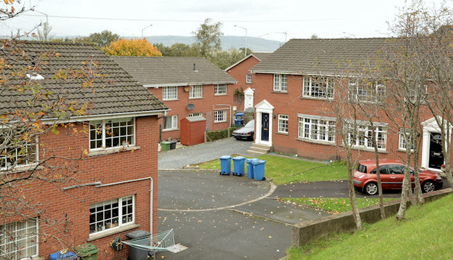
Image: © Albert Bridge Taken: 30 Oct 2013
Part of a 1980’s development of houses and apartments between the Belfast Road and the bypass http://www.geograph.org.uk/snippet/5580. The apartments were skilfully designed to resemble houses.
Images are licensed for reuse under creativecommons.org/licenses/by-sa/2.0
Image Location
Latitude
54.633678
Longitude
-5.845827