Stanley Road from West Hendon Broadway
Introduction
The photograph on this page of Stanley Road from West Hendon Broadway by David Howard as part of the Geograph project.
The Geograph project started in 2005 with the aim of publishing, organising and preserving representative images for every square kilometre of Great Britain, Ireland and the Isle of Man.

There are currently over 7.5m images from over 14,400 individuals and you can help contribute to the project by visiting https://www.geograph.org.uk
Stanley Road from West Hendon Broadway
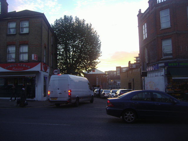
Image: © David Howard Taken: 30 Oct 2013
All the roads off the Broadway were bombed during the war and the Victorian terraces were cleared and the council estate was built on and behind Perryfield Way, which the council are now planning to redevelop but probably not for a decade or more although they said that twenty years ago as well. In comparison they have had an even bigger scheme they rolled out at the same time for the derelict land around nearby Brent Cross and that never got beyond the plans.
Images are licensed for reuse under creativecommons.org/licenses/by-sa/2.0
Image Location
Latitude
51.576653
Longitude
-0.23895