Shadwell Basin
Introduction
The photograph on this page of Shadwell Basin by Des Blenkinsopp as part of the Geograph project.
The Geograph project started in 2005 with the aim of publishing, organising and preserving representative images for every square kilometre of Great Britain, Ireland and the Isle of Man.

There are currently over 7.5m images from over 14,400 individuals and you can help contribute to the project by visiting https://www.geograph.org.uk
Shadwell Basin
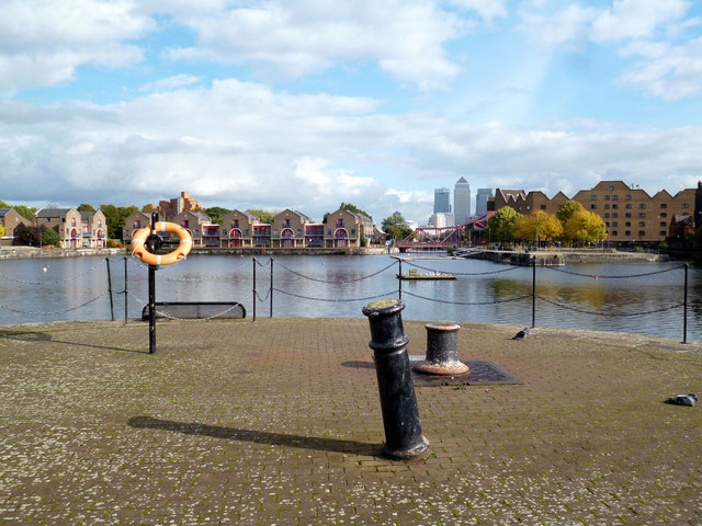
Image: © Des Blenkinsopp Taken: 17 Oct 2013
By comparison with nearby Limehouse Basin and St Katharine Docks, both similar dockland basins still very much alive with boats, this is the quiet one. I like boats, and to me this place seems a bit bleak with nothing going on any more, but I'm sure the residents appreciate the tranquility.
Images are licensed for reuse under creativecommons.org/licenses/by-sa/2.0
Image Location
Latitude
51.508256
Longitude
-0.053388