Cushendall Parish Church (CoI)
Introduction
The photograph on this page of Cushendall Parish Church (CoI) by Eric Jones as part of the Geograph project.
The Geograph project started in 2005 with the aim of publishing, organising and preserving representative images for every square kilometre of Great Britain, Ireland and the Isle of Man.

There are currently over 7.5m images from over 14,400 individuals and you can help contribute to the project by visiting https://www.geograph.org.uk
Cushendall Parish Church (CoI)
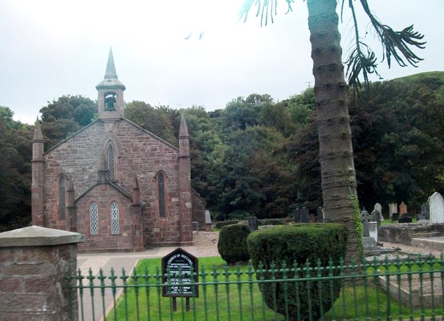
Image: © Eric Jones Taken: 26 Sep 2013
The church which backs on to the River Dall is situated at the western outskirts of the town.
Images are licensed for reuse under creativecommons.org/licenses/by-sa/2.0
Image Location
Latitude
55.079527
Longitude
-6.066377