The Witham Valley at South Witham
Introduction
The photograph on this page of The Witham Valley at South Witham by Tim Heaton as part of the Geograph project.
The Geograph project started in 2005 with the aim of publishing, organising and preserving representative images for every square kilometre of Great Britain, Ireland and the Isle of Man.

There are currently over 7.5m images from over 14,400 individuals and you can help contribute to the project by visiting https://www.geograph.org.uk
The Witham Valley at South Witham
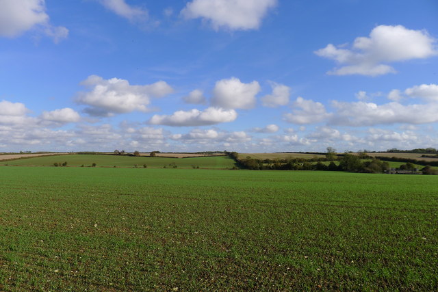
Image: © Tim Heaton Taken: 24 Oct 2013
The line of trees in the dip in the middle distance marks the River Witham, now on its run north (left) towards Lincoln. Its direct path to the sea, straight ahead in this picture, is blocked by a low ridge (the horizon) along which the A1 (Roman Ermine Street) runs
Images are licensed for reuse under creativecommons.org/licenses/by-sa/2.0
Image Location
Latitude
52.767817
Longitude
-0.624533