Housing at Penwill Way, Clennon Valley, Paignton
Introduction
The photograph on this page of Housing at Penwill Way, Clennon Valley, Paignton by Tom Jolliffe as part of the Geograph project.
The Geograph project started in 2005 with the aim of publishing, organising and preserving representative images for every square kilometre of Great Britain, Ireland and the Isle of Man.

There are currently over 7.5m images from over 14,400 individuals and you can help contribute to the project by visiting https://www.geograph.org.uk
Housing at Penwill Way, Clennon Valley, Paignton
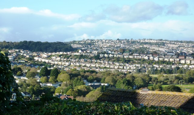
Image: © Tom Jolliffe Taken: 29 Oct 2013
The ribbons of housing development embroider the hills around Torbay. This long string runs along Penwill Way alongside the recreation ground at Torbay Leisure Centre at Clennon Valley.
Images are licensed for reuse under creativecommons.org/licenses/by-sa/2.0
Image Location
Latitude
50.42547
Longitude
-3.570343