Craigens Farm
Introduction
The photograph on this page of Craigens Farm by Bob Forrest as part of the Geograph project.
The Geograph project started in 2005 with the aim of publishing, organising and preserving representative images for every square kilometre of Great Britain, Ireland and the Isle of Man.

There are currently over 7.5m images from over 14,400 individuals and you can help contribute to the project by visiting https://www.geograph.org.uk
Craigens Farm
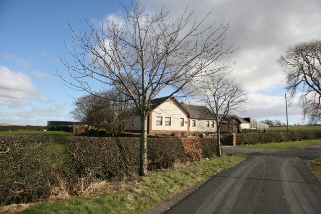
Image: © Bob Forrest Taken: 20 Mar 2007
A new dwelling house with the farm buildings behind. The council housing estate of Craigens lies to the right of the farm and separated from it by a minor road linking the housing scheme to the main A76(T) road into Cumnock town centre. Sheep and cattle seem to be the main farming interests.
Images are licensed for reuse under creativecommons.org/licenses/by-sa/2.0
Image Location
Latitude
55.44373
Longitude
-4.243527