Track bed preparation on Meadows Way
Introduction
The photograph on this page of Track bed preparation on Meadows Way by Alan Murray-Rust as part of the Geograph project.
The Geograph project started in 2005 with the aim of publishing, organising and preserving representative images for every square kilometre of Great Britain, Ireland and the Isle of Man.

There are currently over 7.5m images from over 14,400 individuals and you can help contribute to the project by visiting https://www.geograph.org.uk
Track bed preparation on Meadows Way
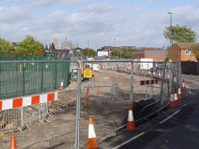
Image: © Alan Murray-Rust Taken: 27 Oct 2013
Following completion of services renewals and diversions, work has started on forming the track bed.
Images are licensed for reuse under creativecommons.org/licenses/by-sa/2.0
Image Location
Latitude
52.944112
Longitude
-1.153509