Vaynol Cottages and York Terrace
Introduction
The photograph on this page of Vaynol Cottages and York Terrace by Ian Capper as part of the Geograph project.
The Geograph project started in 2005 with the aim of publishing, organising and preserving representative images for every square kilometre of Great Britain, Ireland and the Isle of Man.

There are currently over 7.5m images from over 14,400 individuals and you can help contribute to the project by visiting https://www.geograph.org.uk
Vaynol Cottages and York Terrace
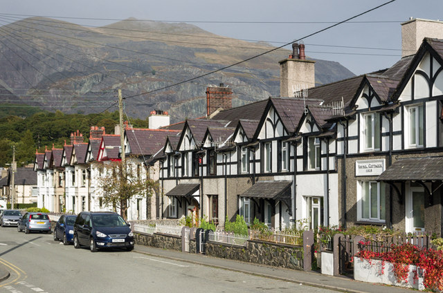
Image: © Ian Capper Taken: 24 Sep 2013
Edwardian terraces at the start of the Llanberis Path up Snowdon. The plaque on Vaynol Cottages (nearer the camera) shows a building date of 1906.
Images are licensed for reuse under creativecommons.org/licenses/by-sa/2.0
Image Location


Leaflet Map data © OpenStreetMap
Latitude
53.113795
Longitude
-4.121038