Access Lane leading from Great Pedding Farm
Introduction
The photograph on this page of Access Lane leading from Great Pedding Farm by Chris Heaton as part of the Geograph project.
The Geograph project started in 2005 with the aim of publishing, organising and preserving representative images for every square kilometre of Great Britain, Ireland and the Isle of Man.

There are currently over 7.5m images from over 14,400 individuals and you can help contribute to the project by visiting https://www.geograph.org.uk
Access Lane leading from Great Pedding Farm
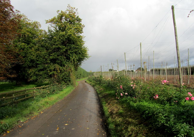
Image: © Chris Heaton Taken: 20 Oct 2013
Leads to the A257 west of Ash - the roses make it a fine welcome.
Images are licensed for reuse under creativecommons.org/licenses/by-sa/2.0
Image Location
Latitude
51.276362
Longitude
1.252859