Tanna Drive
Introduction
The photograph on this page of Tanna Drive by Thomas Nugent as part of the Geograph project.
The Geograph project started in 2005 with the aim of publishing, organising and preserving representative images for every square kilometre of Great Britain, Ireland and the Isle of Man.

There are currently over 7.5m images from over 14,400 individuals and you can help contribute to the project by visiting https://www.geograph.org.uk
Tanna Drive
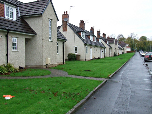
Image: © Thomas Nugent Taken: 19 Oct 2013
Homes built for ex-servicement in 1952, managed by Haig Housing. Opposite Mosspark Bowling Club. Se also Image
Images are licensed for reuse under creativecommons.org/licenses/by-sa/2.0
Image Location
Latitude
55.840496
Longitude
-4.318404